
The area around Ivinghoe
This gallery compliments my first published walk in Buckinghamshire. The walk is a mixture of country walking, climbing and canal walking, so it's pretty varied.
The commentary for each photo only makes proper sense when viewed alongside the map and directives for the walk!

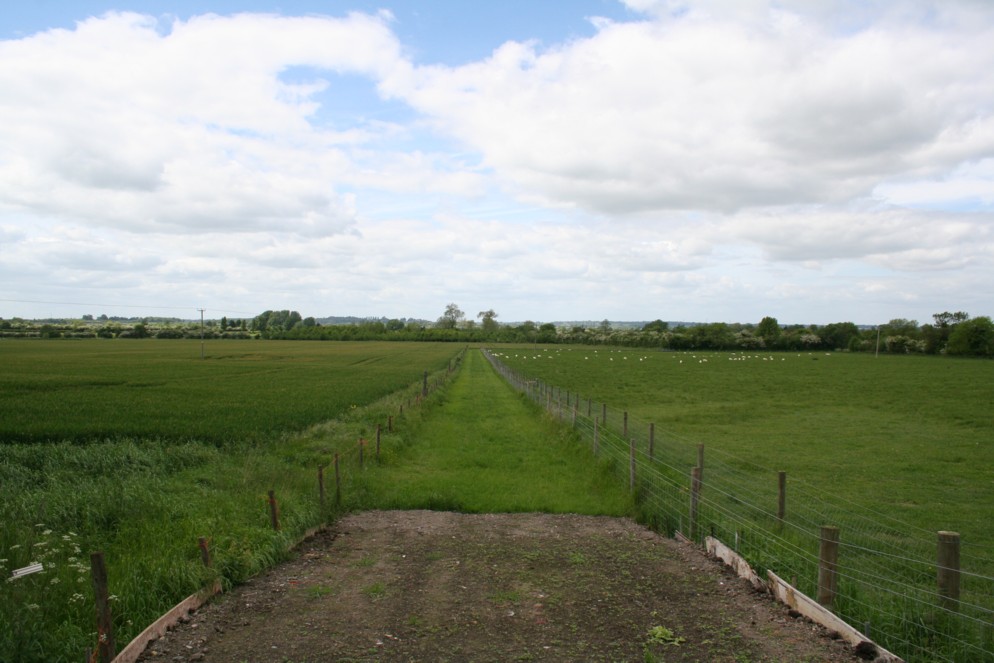
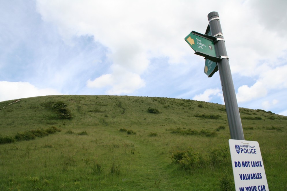


Near the start of the outbound route. This is to the left of the path.
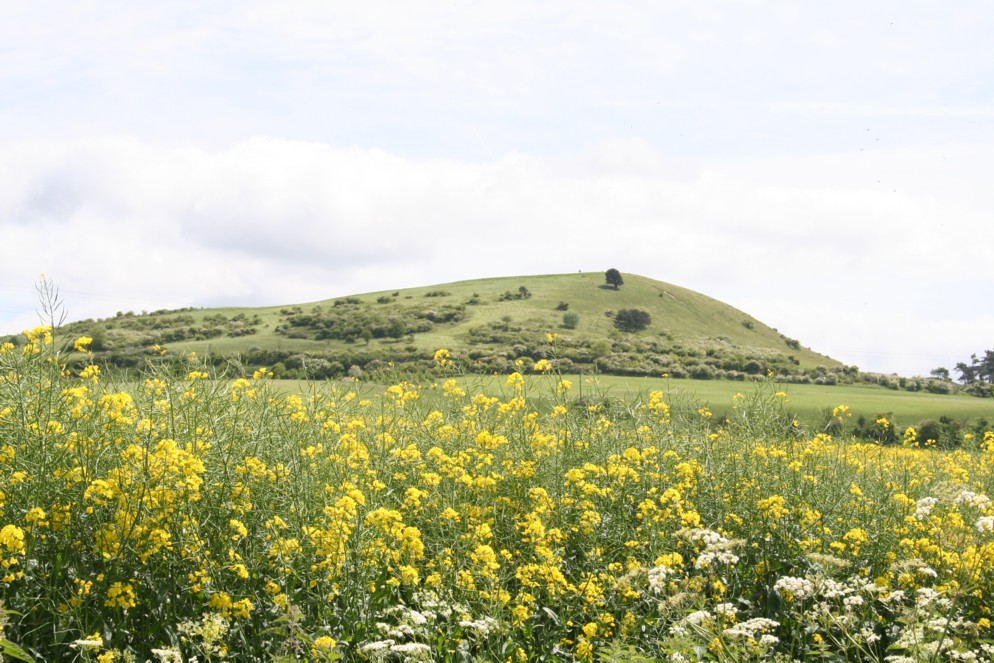
A quick look at a hill, simply known as Beacon Hill!
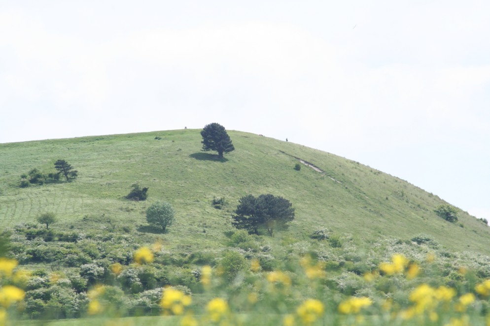
Zoomed in a bit from the previous shot.
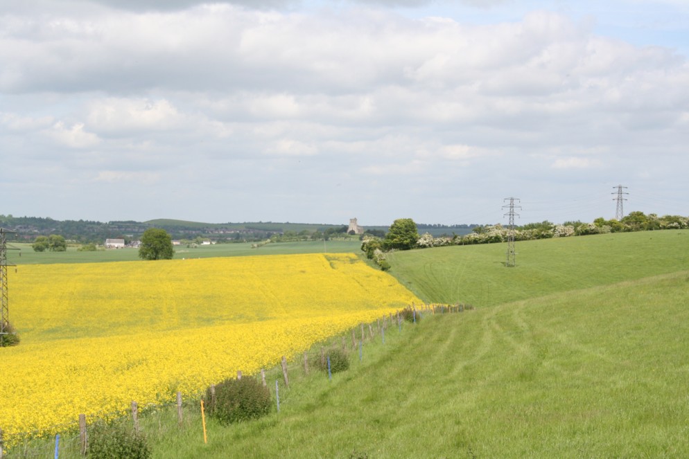
A view back to Edlesborough. This is after we've turned right onto the Two Ridges Link.
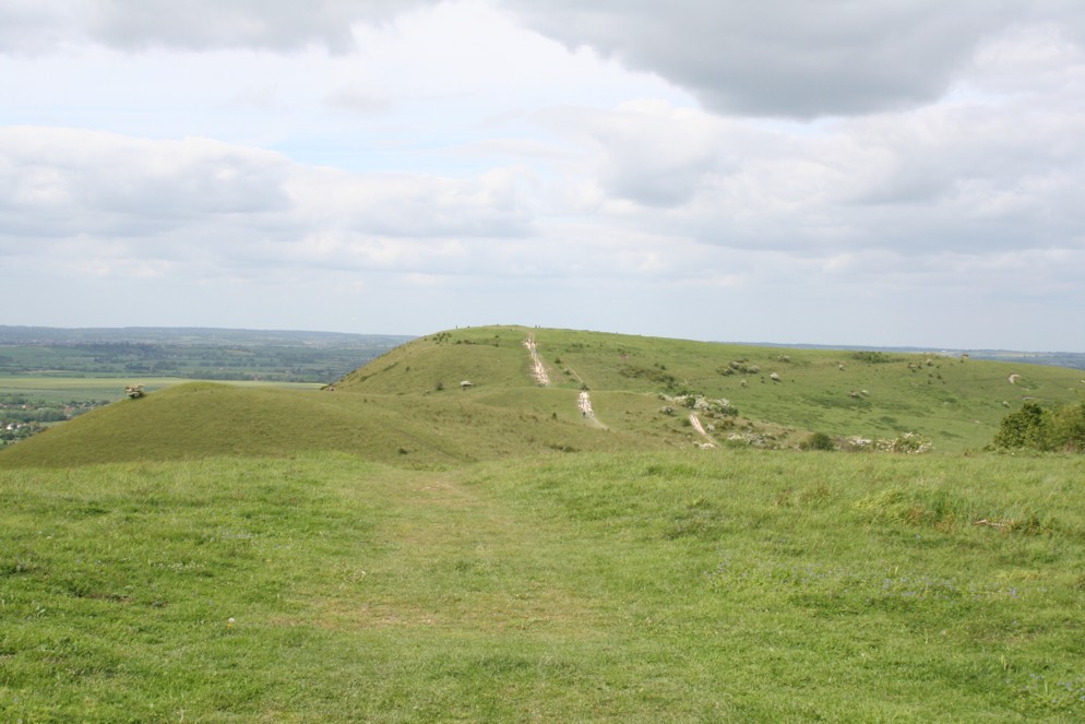
Just about to start a climb to the top of Beacon Hill. This is the most arduous, yet easily the fastest way to the top!
Half way up Beacon Hill. This was taken to give some idea of the gradient.
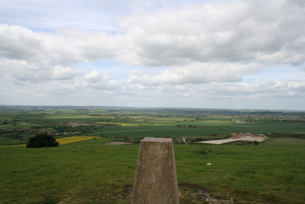
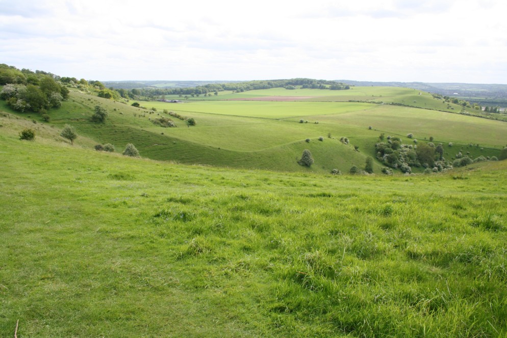
After reaching the top, a view looking to the other side, with a trig pillar in the foreground.
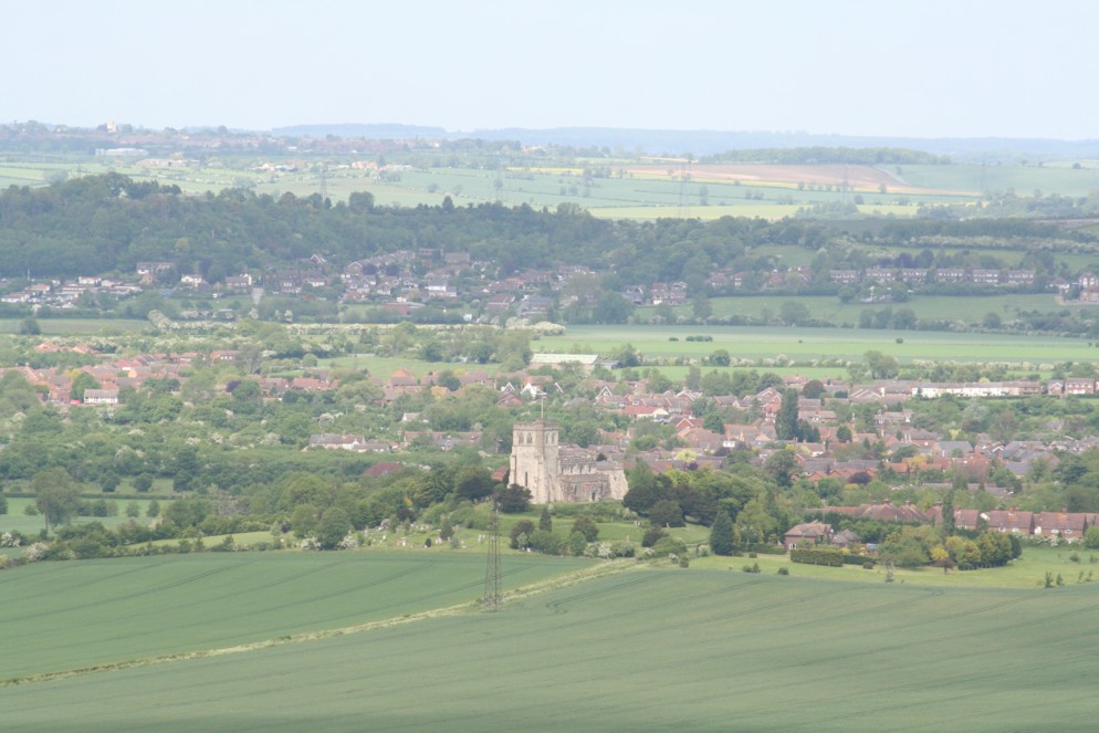
Thought I'd put the zoom lens on for a few shots. This one looks towards the town of Edlesborough. We saw this a bit earlier from a lower level.
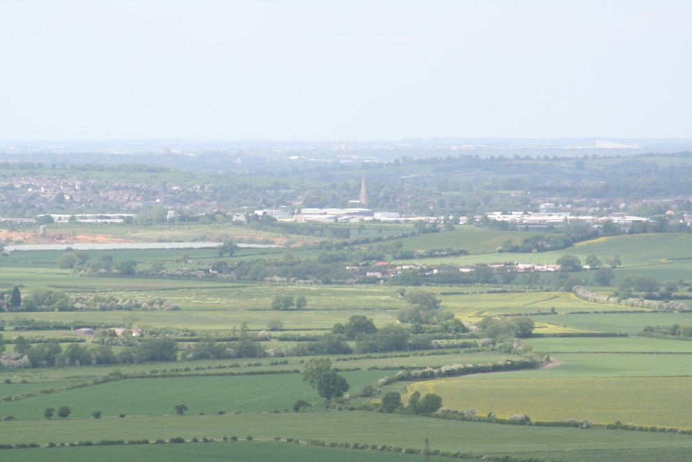
Looking towards the county of Bedfordshire. The spire of Leighton Buzzard Church can be seen in the distance. Parts of the building date back to 1277.
Zoomed out a bit from the previous two. To be totally honest, I don't know where this is looking to, but the view is pretty good!
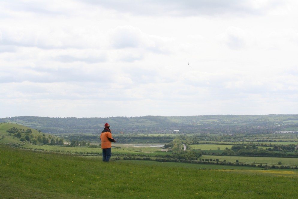
This is a popular area for flying kites and model aircraft. Here you can see someone guiding their pride and joy around the skies.
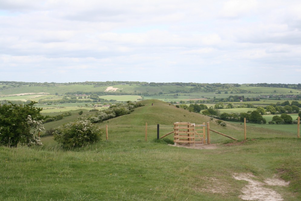
If we'd carried on in the same direction as we took up the hill, we would be walking towards the "White Lion of Whipsnade" (1934), seen here...
...instead, we're going to pick up the "Ridgeway", seen here.
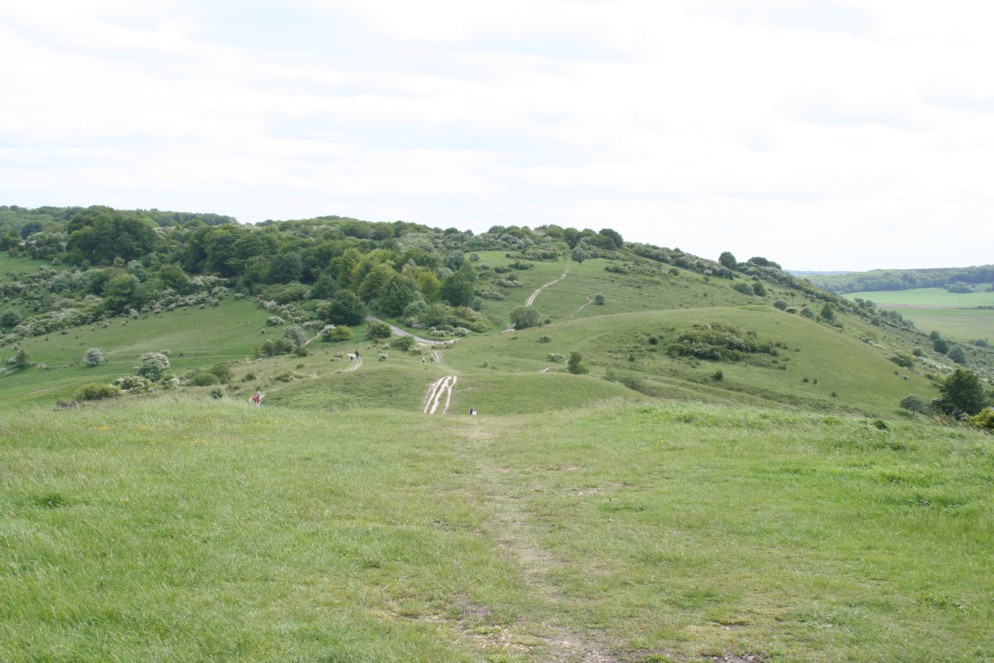
After following the Ridgeway path for a while, let's just have a quick glance back.
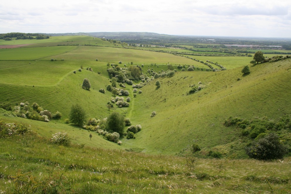
After walking through some woodland for a while, we come to the impressive Incombe Hole. So impressive that there are a further two pictures which need no commentary.
After walking round Incombe Hole and descending a bit, we carry on along the Ridgeway route.
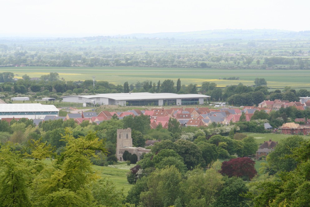
Pitstone church, seen here is keeping some sense of the areas' past, while there are many recent buildings in the background.
Looking right from the previous shot, there is this windmill.
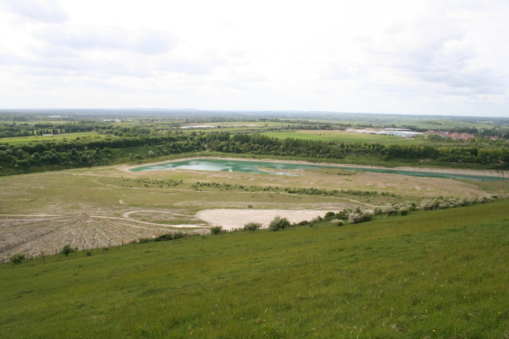
Looking towards a reservoir near Folly Farm. This is comparatively empty, as the weather has been generally dry recently.
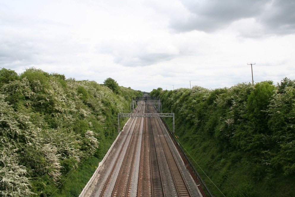
We'll soon be walking along the tow-path of the Grand Union Canal. Before this however, there's a railway line to cross.
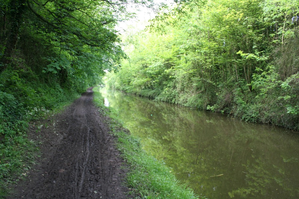
Although the general trend for the weather recently has been dry, there have been some big deluges of rain recently. This explains the boggy nature of this path down to the canal!
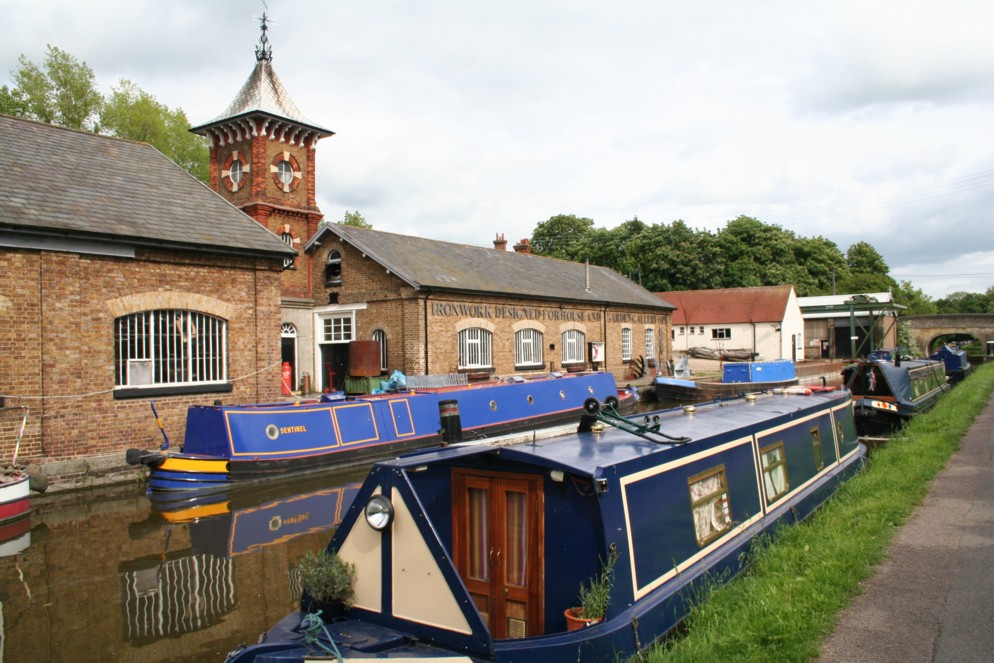
The Grand Union Canal near Bulbourne.
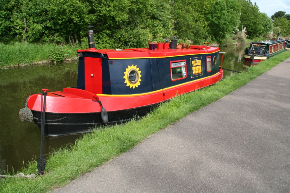
A recently decorated narrow-boat.
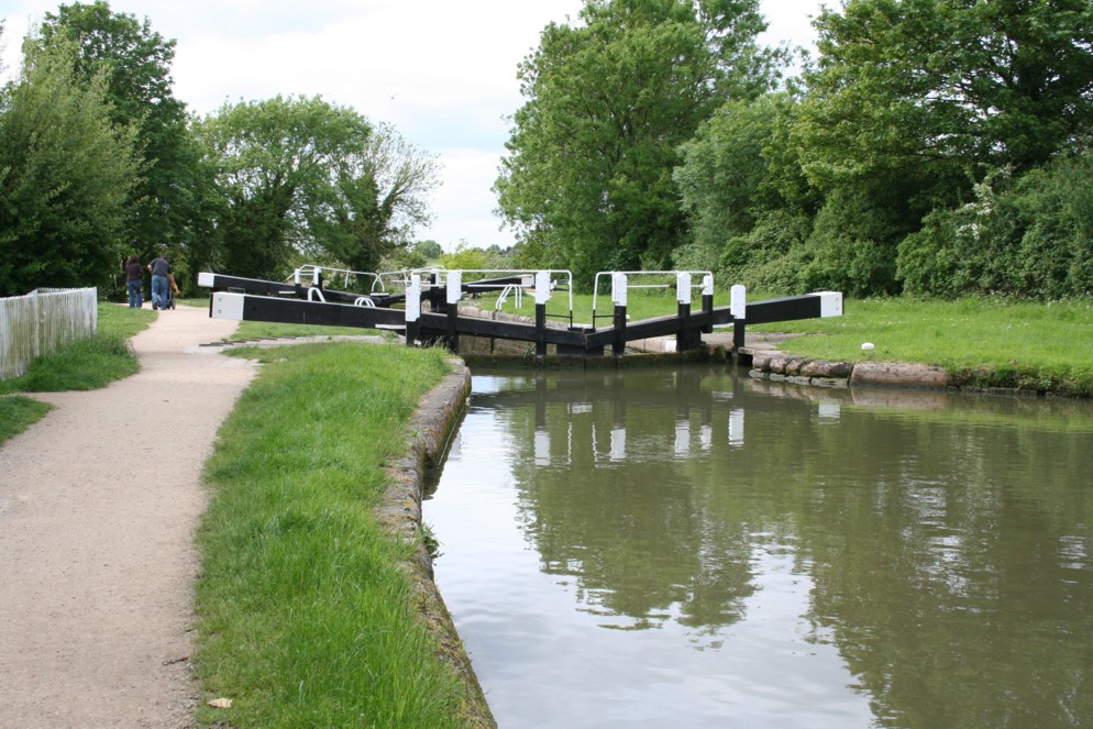
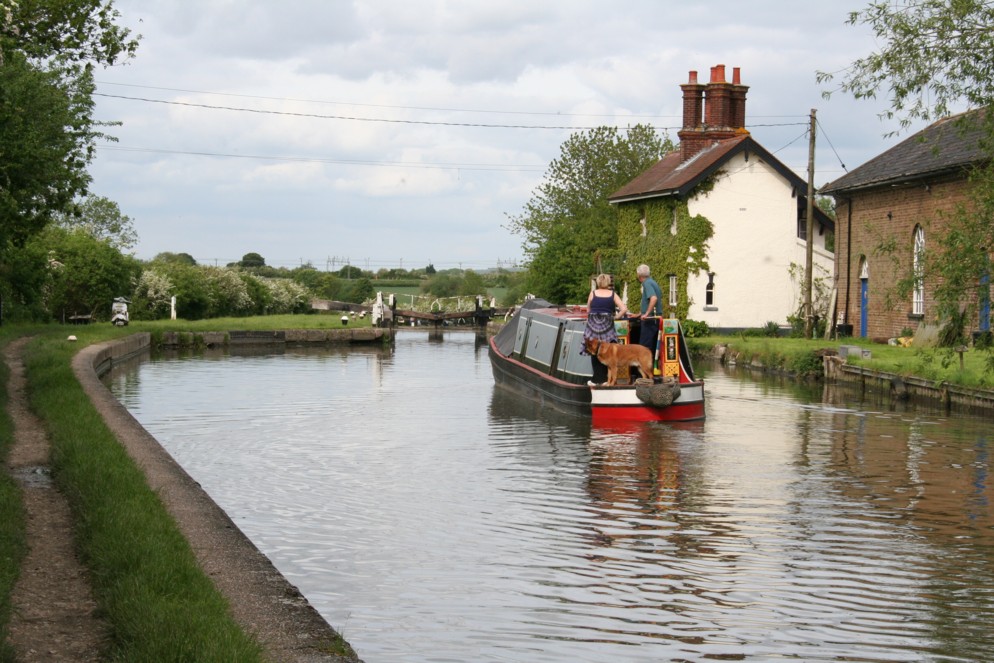
The first of a gradual flight of locks downwards.
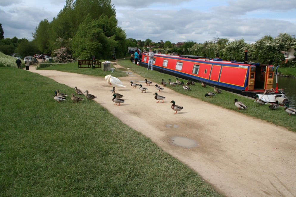
Had to stop for these ducks, and a swan preening itself.
The Aylesbury arm of the canal leaves here.
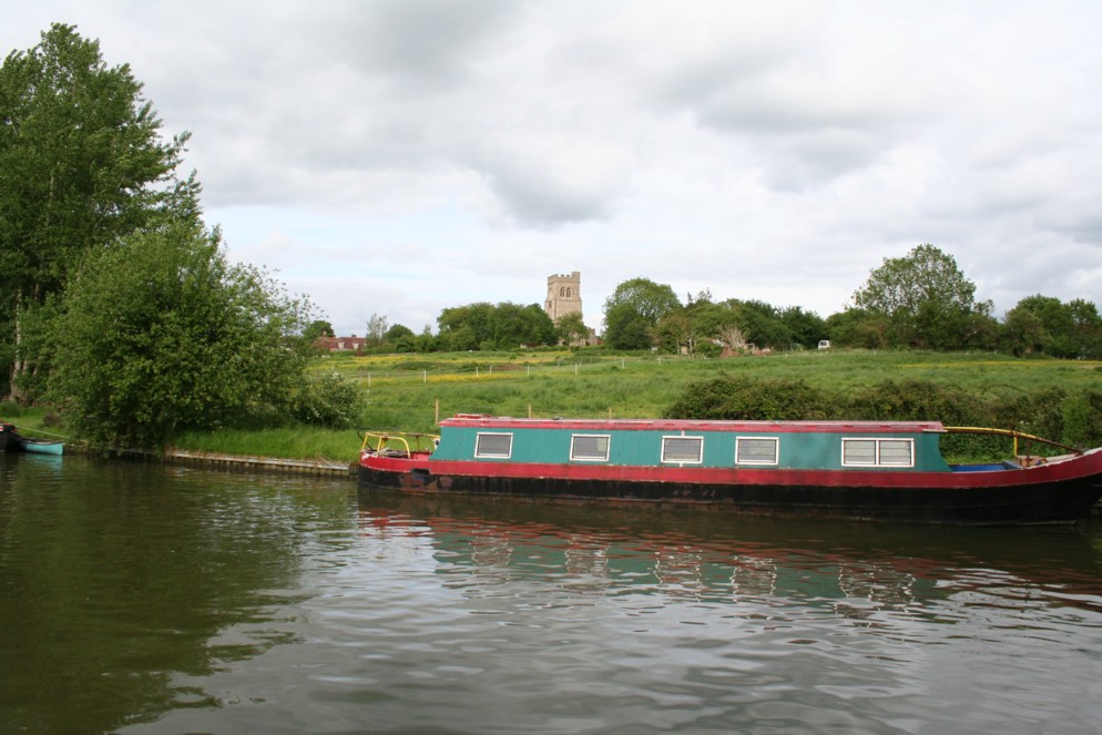
Marsworth church can be seen on the opposite side.
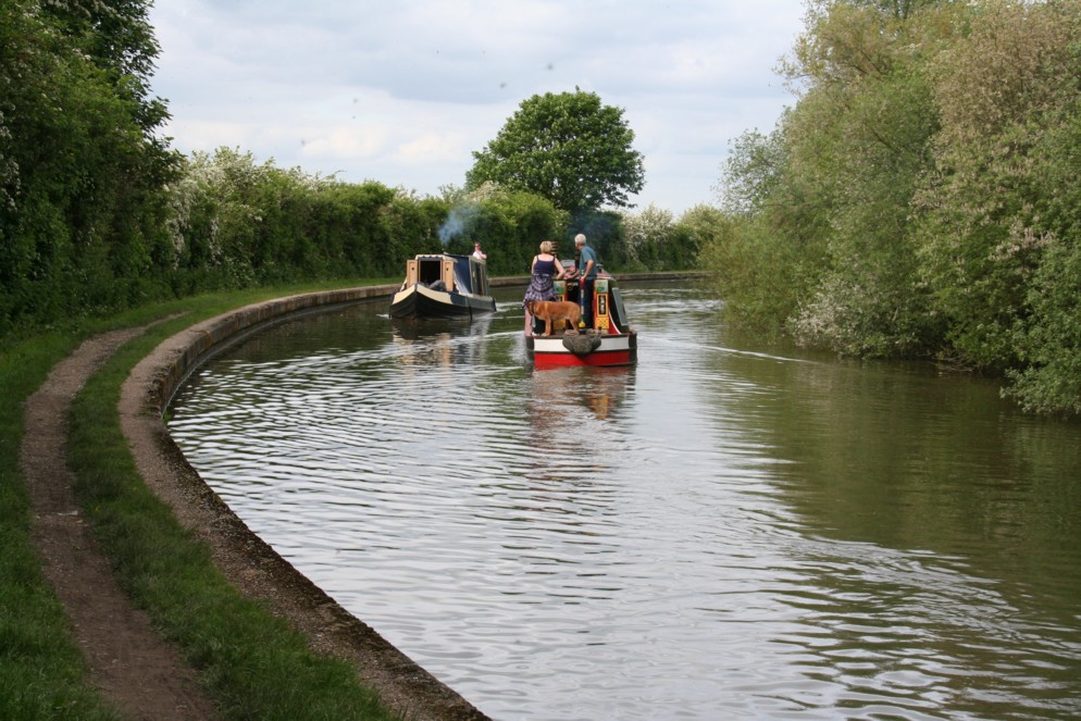
Two barges passing each other...
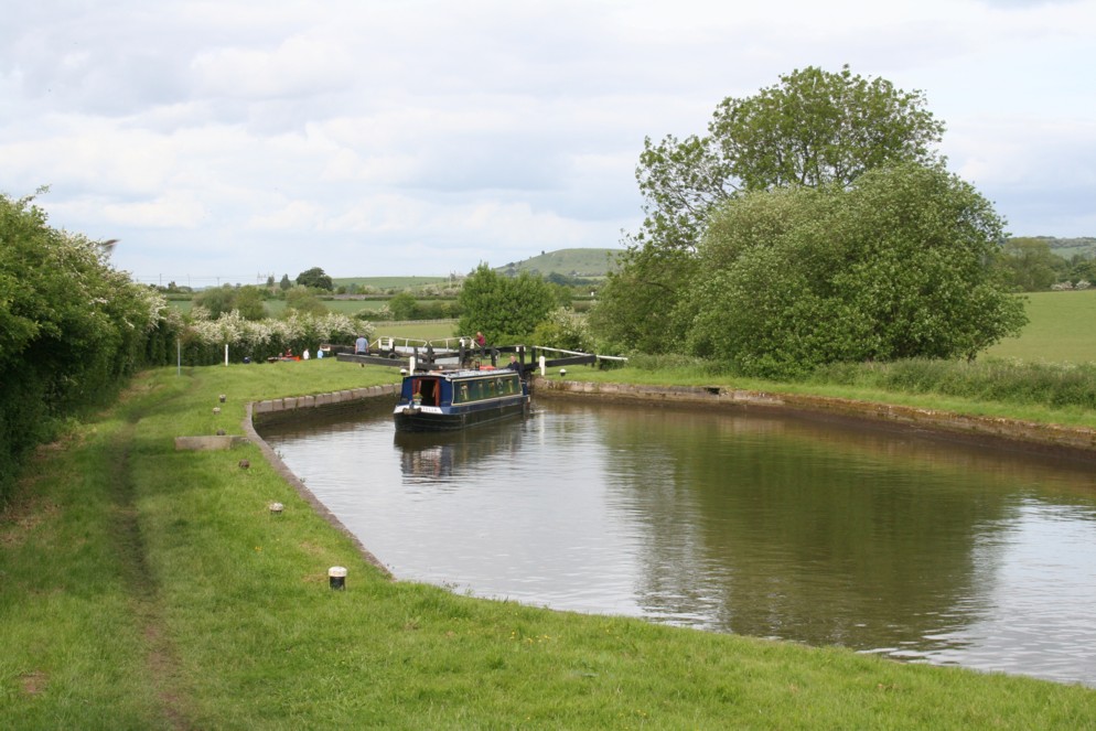
...Following one of them.
Beacon Hill can be seen in the background. This must mean we are nearing the end of the walk.
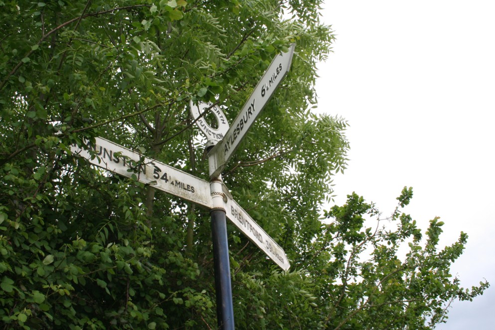
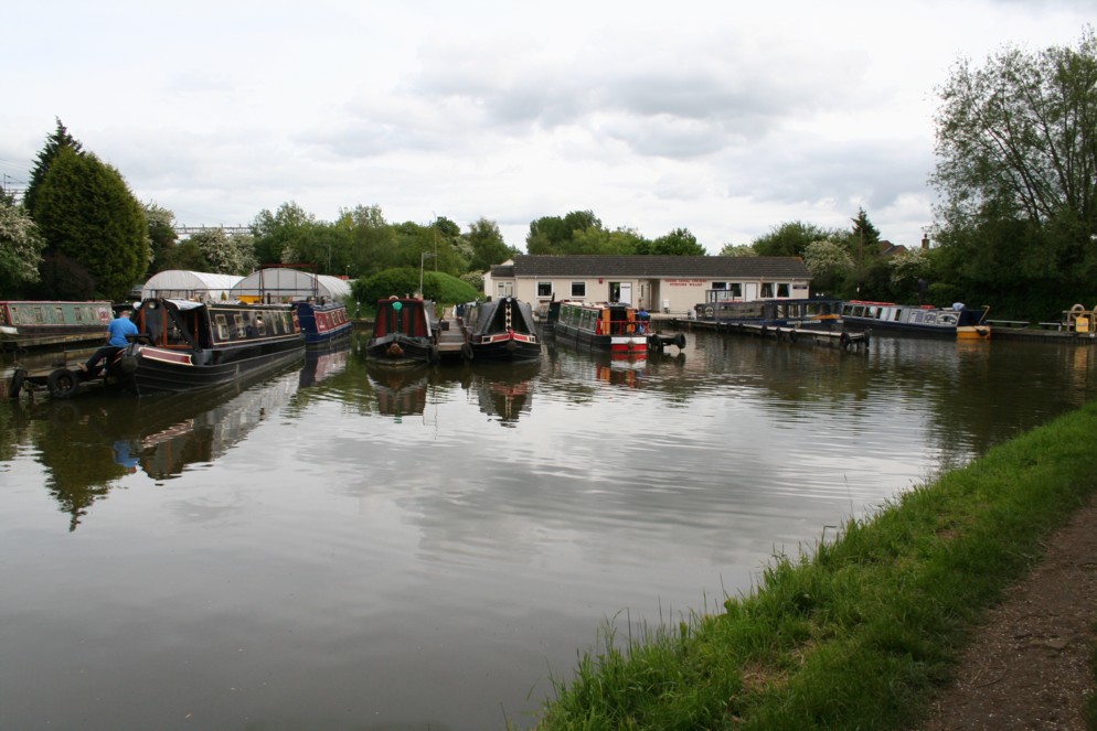
If you want a canal cruise, this is the place to start.
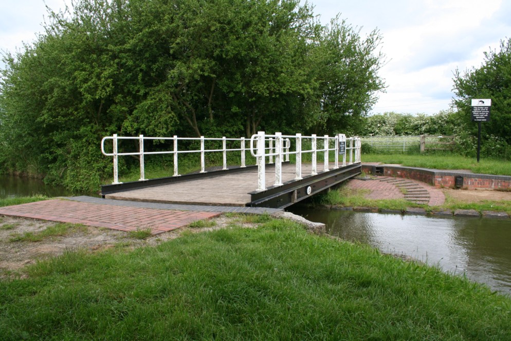
We have to cross this "swing-bridge" for the last part of our walk.
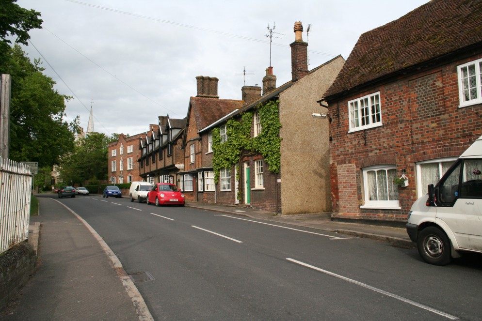
Walking back into Ivinghoe.
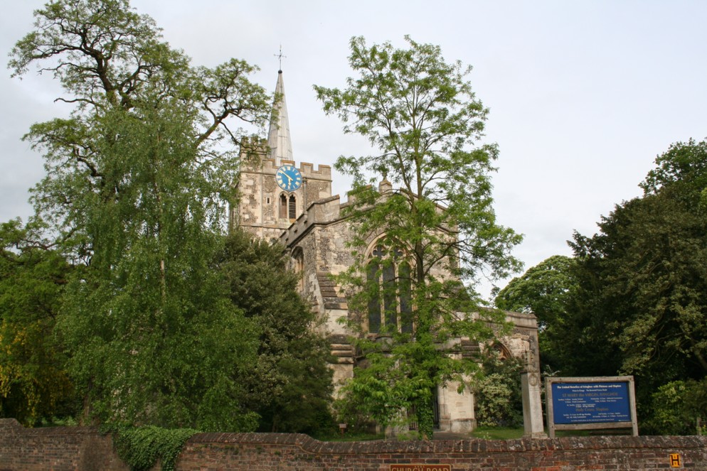
Ivinghoe Church pictured here, just before we turn left down Vicarage Lane.
|
|